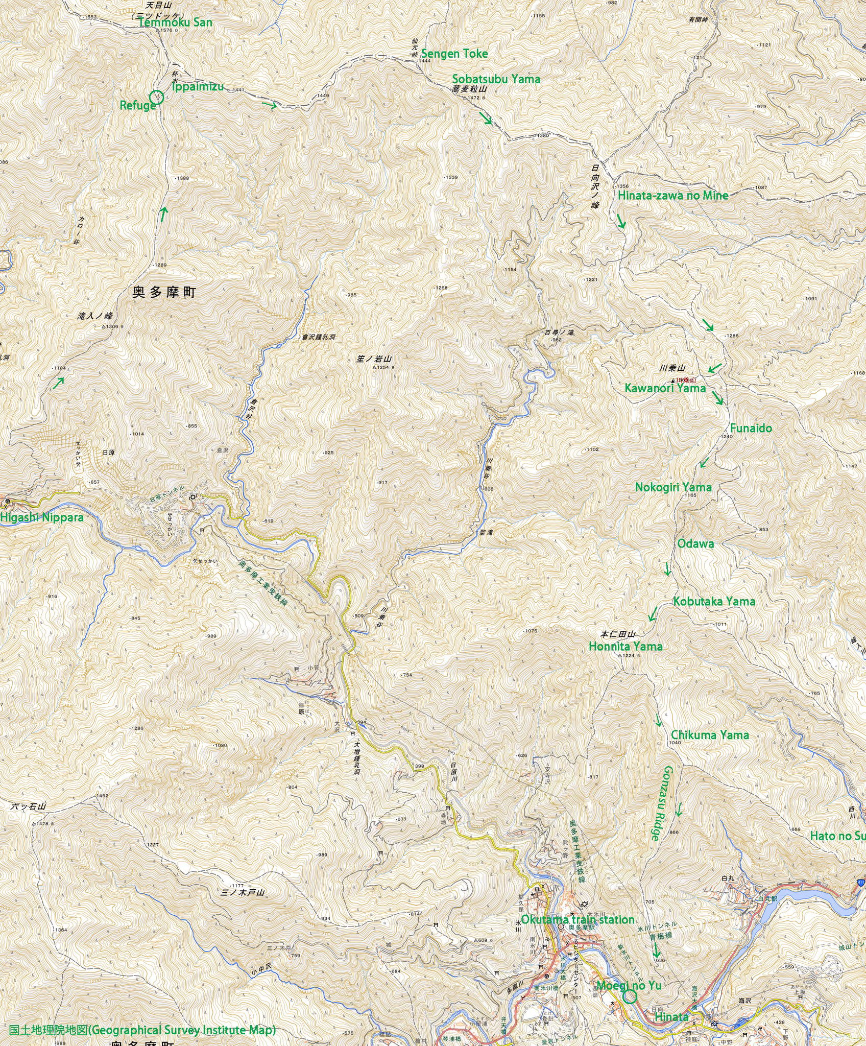
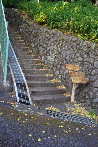
 東日原バス停。奥多摩町の作ったトイレあり。 奥多摩町の作った公衆トイレは全部シャワートイレのはず。 しゃがむトイレに固執する都の作ったものとは大違い。 Higashi Nippara bus stop with a shower toilette. |
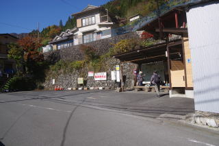
 東日原の集落。 The small community of Higashi Nippara |
 |
 |
 |
 |
 |
 |
 |
 |
 |
 |
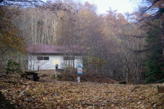 一杯水避難小屋に到着。Arrival at the Ippaimizu Refuge. |
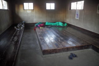
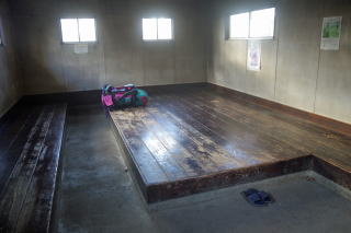 小屋にチェックイン。板の間に荷物を置くだけ。 Check-in at the refuge. Procedures are simple. J ust put your stuff on the wooden floor. No credit card is necessary. |
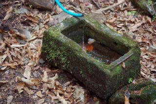 小屋から徒歩5分の一杯水。 数メートル上から引いてくれている人がいるから使える。 頂上直下でよく水が出るものだと思う。 雨が少ないと涸れることがあるそうだが。 The spring of Ippaimizu, which means water for one cup. |
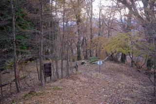 小屋前の小広場。The small area in front of the refuge. |
 小屋からの月食。The eclipse from the refuge. |
 朝食後。やはり貸し切りだった。 夜、シカの鳴き声はうるさかったが。 After breakfast. It was exclusively for me. |
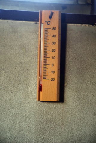 日の出の頃の室温。夜は寒かった。 The temperature in side at sun rise. |
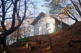 朝日の当たる小屋を後にする。 Departuere from the refuge. |
 |
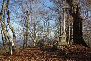 仙元峠。Sengen Pass |
 蕎麦粒山。Sobatsubu Yama. |
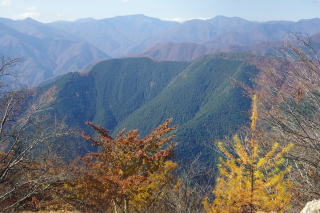
 蕎麦粒山から、これから行く川苔山(一番右の山)。 Kawanori Yama far away from Sobatsubu Yama. |
 蕎麦粒山頂上を振り返る。 The summit of Sobatsubu Yama when I was leaving. |
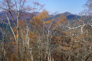
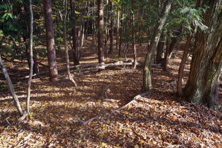
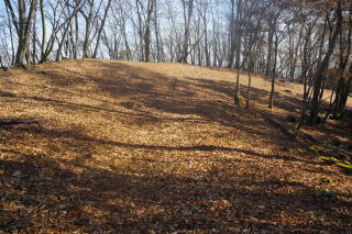 途中、落ち葉の海で、どこに道があるのかわからない。 I could not identify the trail in the sea of dead leaves. |
 日向沢の峰。西から歩いてくるとほとんど高さが無いが、 東からは急斜面をかなり登るので、「山」に見える。 Hinata-zawa no Mine. From the east, it looks a mountain. From the west, ii does not. It is the end of t he ridge coming from the west. |
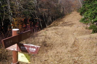
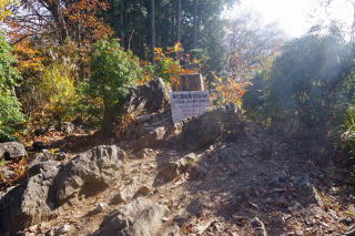
 左への道は通行禁止。2019年で崩れたまま通行不可 になっている道がたくさんある。 The trail to the left is closed. There are many trails that were damaged by the 2019 typhoon. |
 |
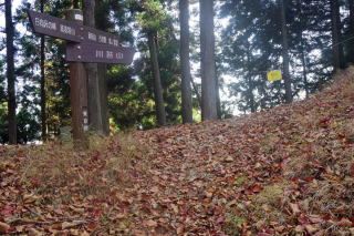
 こもも通行止め。Another closure of trail. |
 |
 |
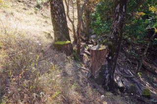 伐られても2人はしっかり育った。 Although they were cut, they have grown up! |
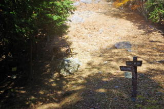
 ここも、右のみ道は通行止め。Another closure of trail. |
 ここも正面は通行止め。Another clusure of trail. |
 曲りが谷北峰からの川苔山。 Kawanori Yama from the northern peak of Magarigatani Yama. |
 川苔山頂上に到着。Arrival at Kawanori Yama. |
 川苔山からの雲取山(中央)、 東京都第2位の高峰である芋の木ドッケ(1,946 m)。 Kumotori Yama (2,017 meters - the highest of Tokyo, in the center) and Imo no Ki Dokke, 2nd highest of Tokyo in the right. |
 川苔山頂上から、直下に一杯水避難小屋のある 天目山(三つドッケ)(左端)、蕎麦粒山(右寄り)。 Tenmoku-zan (Mitsu Dokke) in the left and Sobatsubu Yama in the right from the summit of Kawanori Yama. |
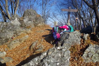
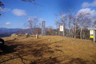
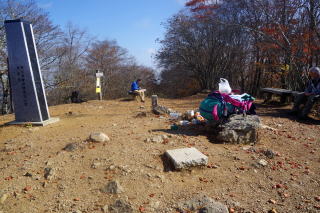 川苔山頂上。The summit of Kawanori Yama. |
 |
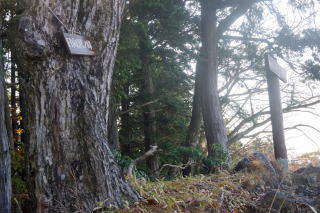
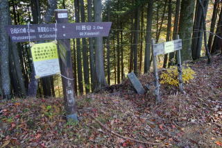
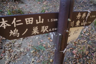
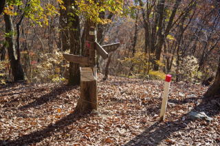
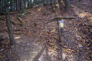 舟井戸にある標識。左の巻道が長いので、 尾根を行く鋸山経由を選択したが、「悪路」との表示がある。 実際、4-5座ある鋸山のピークのうち北から3つ目の、 地図に「鋸山」の表示のあるピークから南に降りる部分は、 割れた岩、草、土が入り混じり、非常に難しかった。 このピークの直前で追い越して行った若い女性は、 大きな落石を起こした。 The much shorter trail on the ridge was actually v ery tough with rocks with cracks, grass and mud. T he girl who had passed me before the main peak caused l arge rocks falling down. |
 しかし、鋸山を過ぎ、巻道と合流すると、 巻道のほうに「悪路」の表示があった。 表示をつけるところを間違えたのではないか。 地形図によれば、巻道も急な谷間を通るようなので、 そこが危険である可能性はあるが。 When I joined the alternative trail after the rock, grassy and muddy trail, I found a "dangerous trail" sign on the alternative trail. I suspect that the sign is attached to a wrong arm of the sign pole. |
 本仁田山に登っていく途中、瘤高山のところで、 もう1人の若い女性に追い抜かれた。 Another girl passed by at the Kobutaka Yama on the way to Honnita Yama. |
 本仁田山頂上。展望も限られるが、ファンがいる様子。 The summit of Honnita Yama. Although it has a limited view, i t seems it attracts certain funs. |
 本仁田山頂上のすぐ南にある奥多摩駅方面(右)と 鳩ノ巣駅・もえぎの湯(日向)方面(ゴンザス尾根)(左)の分岐。 古い標識が、ロープで支えられてやっと立っている。 途中でゴンザス尾根から分かれる鳩ノ巣駅方面は、 橋が通れなくなっているとの表示あり。 Division of the trail immediately in the south of the summit of Honnita Yama. To the right is Okutama train station and to the left are Hato no Su train station and Moegki no Yu and Hinata community on the Gonzasu ridge. I t warns that the trail to Hato no Su station is not passable because the bridge immediately before the station is closed |
 ゴンザス尾根に入るが、落ち葉のために道がわからない。 この尾根を下るにはGPSが必要。 GPS is necessary to go down this Gonzasu Ridge because the trail is fully covered with dead leaves. |
 下から見上げてもやはり道がどこかわからない。 It is difficult to identify the trail even when seen from below. |
 GPSで、方向が正しいと判断するものの、 道らしいものが見えない。 Although the GPS indicates that I was walking down the right way, still I cannot identify the trail. |
 引き続き道が不明だが、ピンクのテープを付けてくれている 人がいる。 The trail cannot be identified but a small pink tape shows the trail. |
 |
 鳩ノ巣駅方面(左)ともえぎの湯・日向方面(ゴンザス尾根) (直進)の分岐点。橋の閉鎖のために鳩ノ巣駅には 行けないとの表示はここには無い。 ゴンザス尾根を直進しても急斜面で本当に いいのかどうか不安があったが、地図上でも 急斜面になっているし、GPSからもその斜面で良いと 考える。 Division of the trail toward Hato no Su train station and Moegi no Yu on the Gonzasu Ridge. No sign of u npassable toward Hato no Su station was seen here. I went straight toward Moegi no Yu on the Gonzasu Ridge. Although it was very steap and trail under dead leaves could not be identified, the topo map and GPS indicated that it was the right way. |
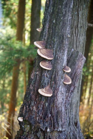
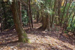
 ゴンザス尾根ではところどころに巨大なコメツガの木がある。 Gigantic Kome Tsuga trees are found on the Gonzasu Riege. |
 |
 |
 |
 NHKのデジタル放送のアンテナを過ぎると道は尾根を外れ、 路面も平滑な土になるが、それでもなお かなりの勾配で、本仁田山から登山口までの 標高差900メートルを下りるのは大変。 After an NHK digital TV antenna, trail gets better with smooth soil surface zigzaging down. Still it was steep to walk down 900 meters from Honnita Yama to the trailhead. |
 漸く登山口に到着。At last I arrived at the trail head. |
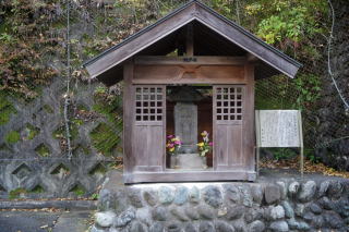 もえぎの湯の脇にある馬頭観音。かつては馬が重要な 運搬手段だったことをうかがわせる。 A god of horse head next to the Moegi no Yu hot springs. It indicates that horses used to be an important means of transportation. |
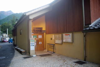 もえぎの湯。Moegi no Yu hot springs. |