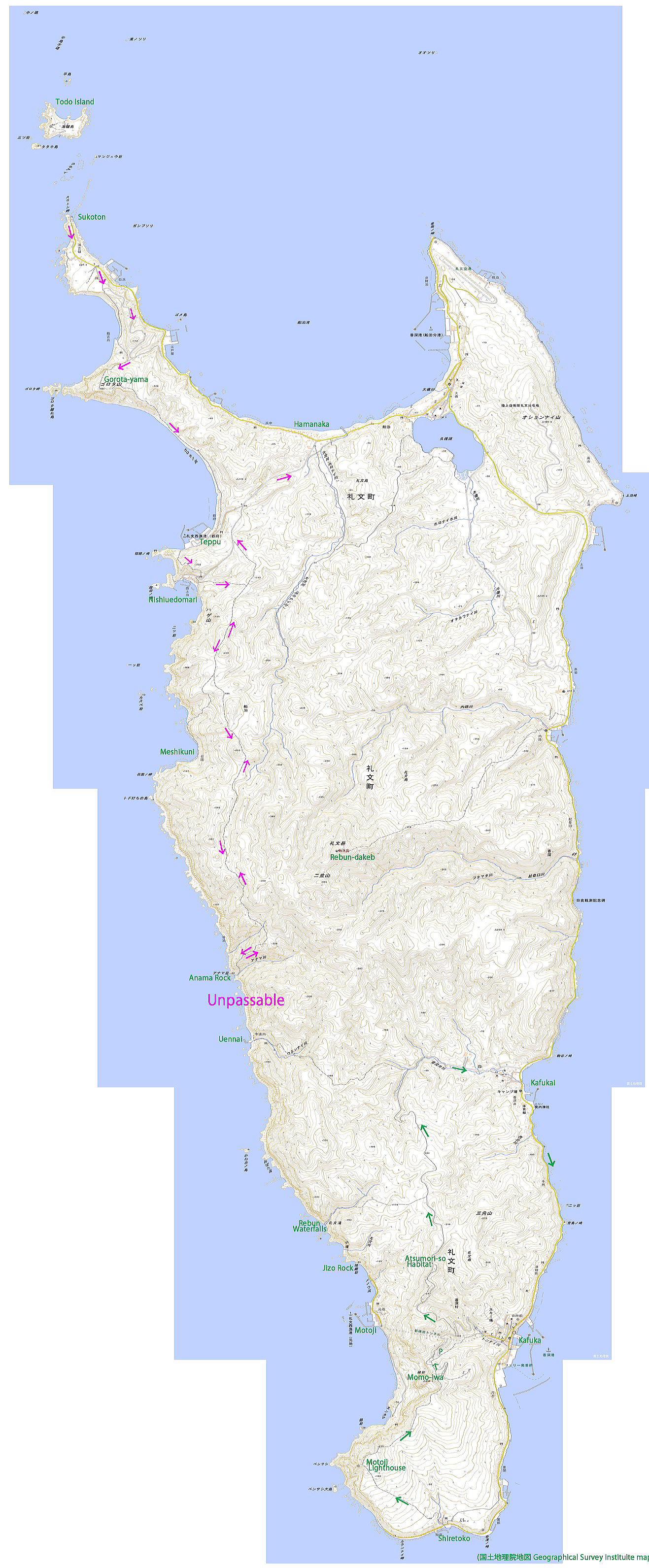
 スコトン岬のバス Bus at the Sukoton Cape |
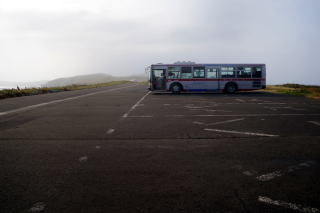
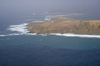
 スコトン岬。1キロ先にトド島が見える。 Sukoton Cape with Todo Island one kilometers away |
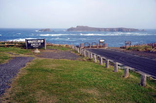
 スコトン岬とトド島。トド島展望台付近から。 Sukoton Cape and Todo Island from the Todo Island Viewpoi |
 西海岸のお墓。Tombs near the west coast |
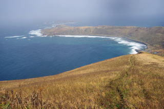
 スコトン岬方向。Toward the Sukoton Cape |
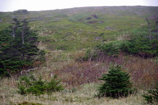
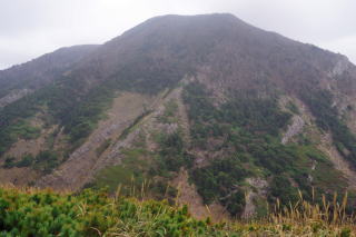
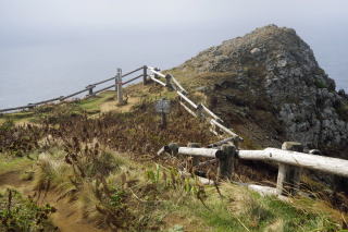 ゴロタ山。Gorota-yama |
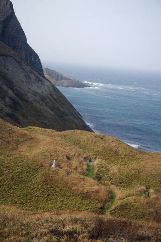
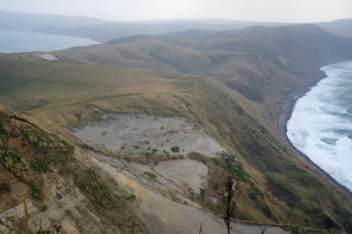
 ゴロタ山からのスコトン岬とトド島。 Sukoton Cape and Todo Island from Gorota-yama |
 ゴロタ山からのスコトン岬とトド島。 Sukoton Cape and Todo Island from Gorota-yama |
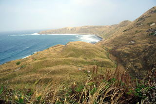
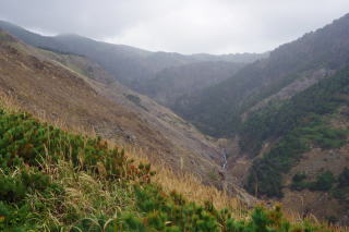
 ゴロタ山から南を臨む。 Toward the south from Gorota-yama |
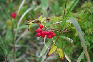
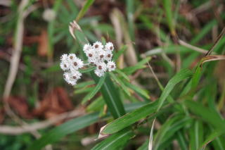
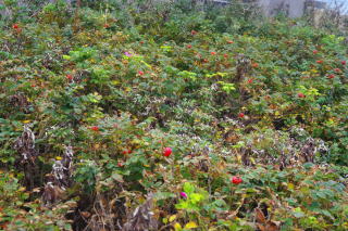 鉄府のハマナス。Hamanasu at Teppu |
 西上泊。Nishiuedomari |
 西上泊から登る道でナナカマド。 Nanakamado on the trail from Nishiuedomari |
 |
 |
 |
 |
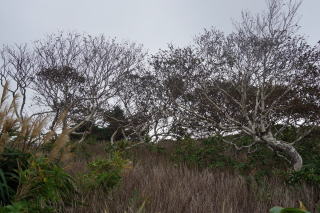
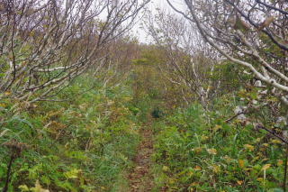
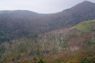
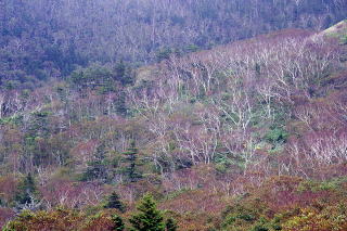
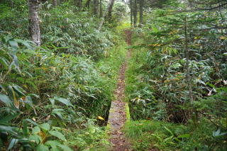
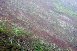
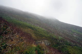
 だんだんと樹木が出てくる。We now see trees |
 |
 |
 |
 |
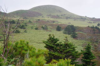 |
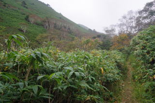
 トドマツ林も現れる。Todomatsu forest |
 |
 |
 |
 |
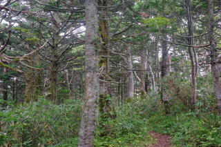
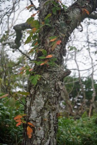 森林内の道にはツタウルシが多かった。 漆に弱いわけではないが両腕が少しかぶれた。 Tsuta Urushi |
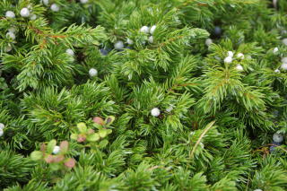
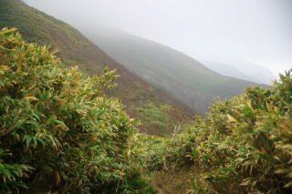
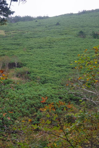 ハイマツ。Haimatsu, which is seen at the altitude over 2,500 meters in central Honshu |
 |
 |
 |
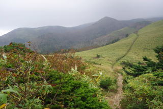
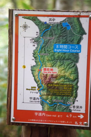
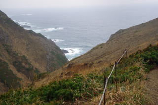
 小さな峠を越え、再び海岸に近づく。 After a small pass, we are approaching the coast. |
 |
 |
 間もなく、足元の悪い急斜面をアナマ岩脇の海岸に下る。 Soon we will descend to the coast next to the A nama Rock on an unstable and very steep slope. |
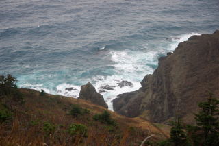
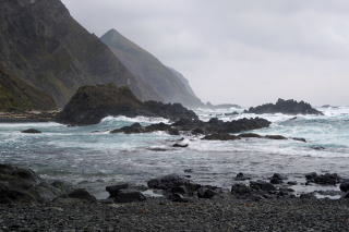
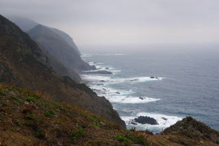 この波を見て、アナマ岩から先の海岸を歩くのは 無理だろうと考えた。 I thought that it would be too dangerous to walk on this coast. |
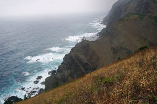 |
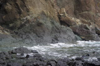
 急斜面を下りて間もなくアナマ岩の横に出る。 I was almost arriving at the Anama Rock. |
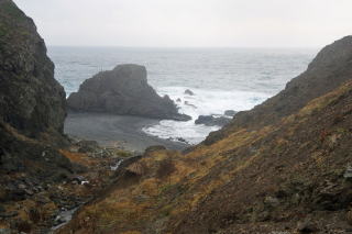
 アナマ岩の脇の海岸。この先、道が無いので、 海岸の石や岩の上を歩くことになっている。 しかし、この波では無理。 Treckers must walk on the rocks and stones here because there was no trail after this. |
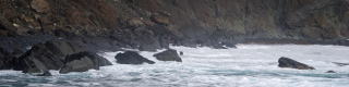 明らかに通れない。 It was clear that it was impossible to walk here. |
 |
 |
 アナマ岩から引き返し。日没前に車道に出ようと 速く歩いたが、その前に日没となった。 I returned from the Anama Rock. But before I reach a road, the sun had set. |
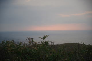
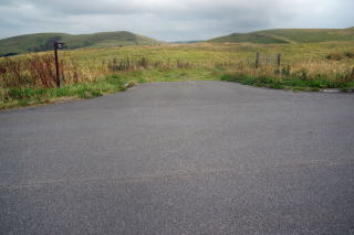 この向こうから延々と歩いて来て、漸く浜中への車道に出る。 フルサイズの高感度のカメラなので明るく映っているが、 実際は薄暗くなっていた。 At last, I arrived at a road to Hamanaka walking fast on the trail in this grassland. Because of the capability of my camera, the photo does not show the darkness. |