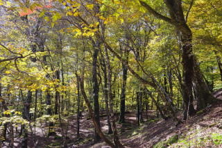
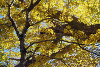
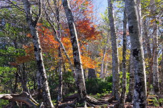
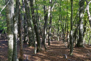
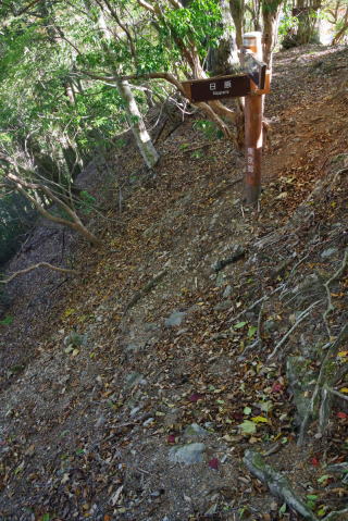
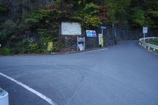
 東日原(標高660m)から登って行き、855m付近から、 左手はずっと広葉樹林(ミズナラが多い。)になる。 この先は尾根の右側を巻いて行く。 Climbing from the trail head at Higashi Nippara (660 meters in altitude), we reach broad-leaved woodlands i n our left at 855 meters. We will soon start traversing o n the right side of a ridge. |
 NHKの放送アンテナ(1,011m付近)を過ぎると 両側が広葉樹林になる。 After an NHK's TV antenna at 1,011 meters, we see broad-leaved woodlands on both sides. |
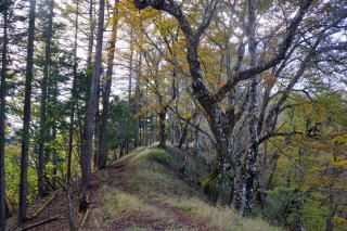
 滝入の峰の北側まで巻道が続く。 The traversing continues until we reach the ridge in the north of Takiiri no Mine peak. |
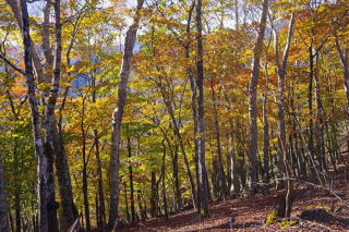
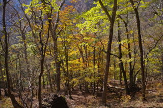
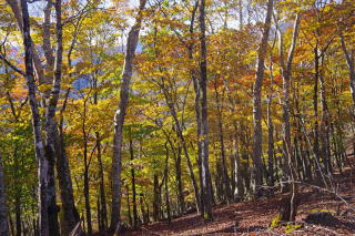
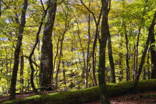
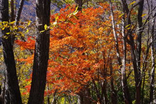
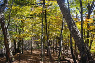
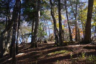
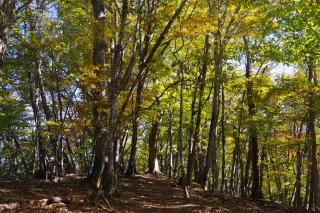
 一杯水避難小屋(1,468m)。 中はきれいだが、トイレは昔のし尿を大きな コンクリート槽にためるタイプ。かつてあった ストーブは撤去されている。 Ipaimizu Refuget (1,468 meters) with an old toilette. The stove has been removed. この辺りまで来るとブナの木が多くなる。 There are more beech trees on this altitude where human impacts are light. 東に5分行くと「一杯水」の湧き水がある。 涸れることもあるようだが。 There is a spring called "Ippai-mizu" five minutes to the east. I hear it may not be available during very dry period. この時は、ここから稜線を西に歩いたが、 2022年には東に歩いた。 This time I walked to the west on the ridge. In 2022 I walked to the east. |
 一杯水避難小屋付近 Near Ippai-mizu Reguge |
 |
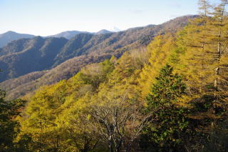
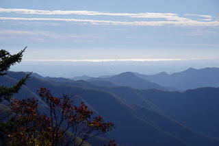
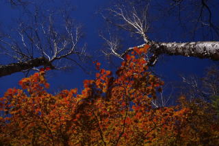
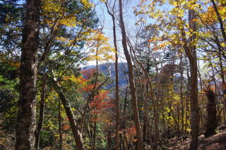
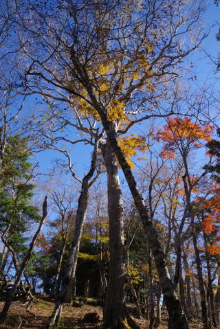
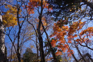
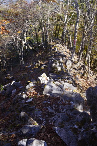
 ハナト岩(1,560 m)から。From the Hanato Rock. |
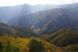 ハナト岩から。From the Hanato Rock. |
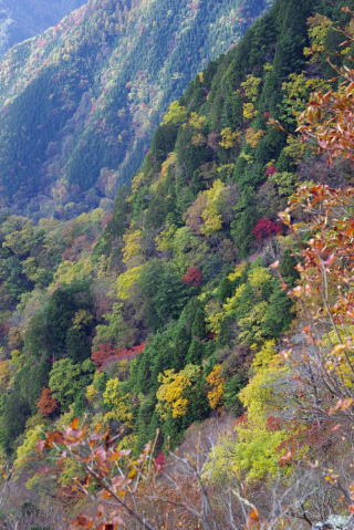
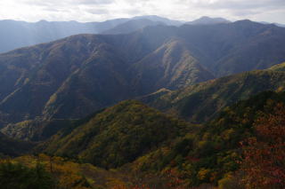 ハナト岩から。From the Hanato Rock. 山の奥の奥感。 Impression of very deep in mountains. |
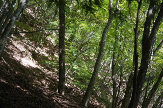
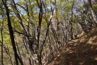
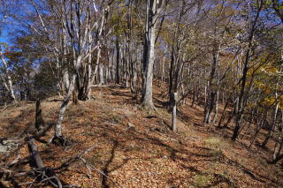
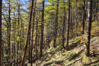
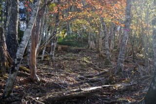
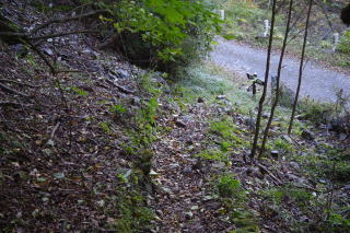
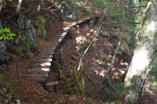 少ないものの、巻道にはこういうところもあるにはある。 There are a few sections like this on the trail traversing the ridge. |
 |
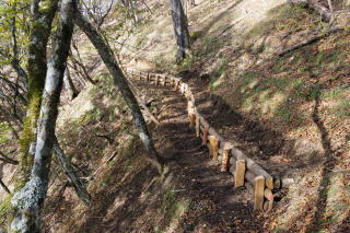 改良中の区間。工事の人によると、 山中に泊まっているのではなく、毎日林道の奥から 上り下りしているとのこと。多分、林道からの 標高差は500メートル。 Improvement works. The workers were commuting every day via a forest road and then a steep trail. Probably they must climb for 500 meters each way in terms of altitude. |
 |
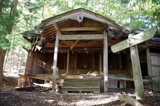
 酉谷山避難小屋手前 Immediately before the Toritani-yama Refuge |
 酉谷山避難小屋の屋根が遠くに見えた。 I could see the roof of the Toritani-yama Hut. |
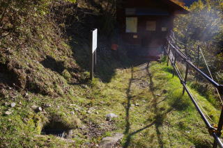
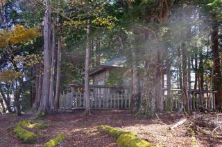
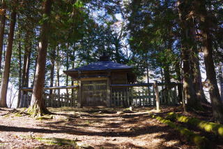
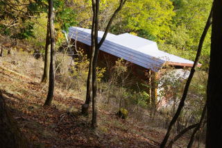 酉谷山避難小屋(1,470 m)へは道から少し降りる。 更に下りる道は危険として通行止め。 We descend to the Hut from the main trail. The trail further descending is closed. |
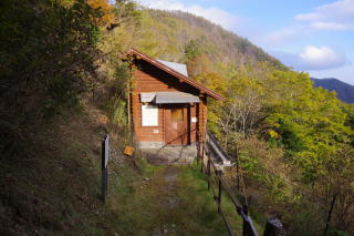 酉谷山避難小屋 Toritani-yama Refuge 中を突き抜けて反対側に出るとバイオトイレがある。 使用した紙は持ち帰る必要がある。 持ち帰り用の袋を持参。膝の悪い老人には残念ながら和式。 On the other side through the inside of the hut is a bio toilette. We must bring our used paper home. Regretfully it is in the Japanese style. |
 |
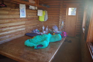 小さな酉谷山避難小屋の朝 Goodd morning in the Hut |
 The usual mountain from the Hut 避難小屋からの富士山 |
 |
 左手前のグレーチングの中に水が湧いている。 In the left this side is a spring with an iron cover. |
 酉谷山頂上(1,718 m)。Summit of Mt. Toritani. |
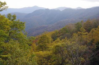
 酉谷山頂上から都心 部遠望 The central Tokyo was seen from the summit of Toritani Yama |
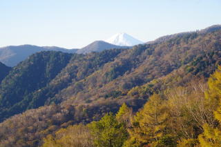
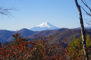 Mt. Fuji from the summit of Toritani Yama 酉谷山頂上からの富士山 |
 |
 |
 |
 |
 |
 水松山下分岐点付近(1,650 m. 長沢背稜から分かれて天祖山へ) Division below Araragi-yama (Division to Tenso-san away from the main Nagasawa Ridge) |
 |
 |
 |
 天祖山の北の1,671mのピークへ。 Ascent to the 1,671-meter peak to the north of Mt. Tenso. |
 |
 |
 |
 天祖山頂上(1,723 m)到着。 Arrival at the summit of Mt. Tenso. |
 |
 1世紀ほど前に新興宗教が建てた建物。 山名も天祖山に変更された。 Shrine on the summit of Mt. Tenso. It was constructed by a new religious sect about a century ago and the mountain was renamed. |
 宗教施設の正面側。 The front side of the religious building. |
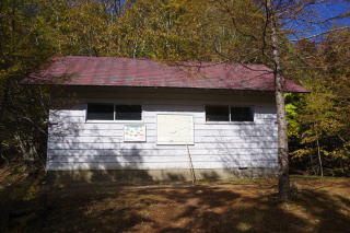
 新興宗教の宿泊施設と思われる。 Probably a lodge of the religious sect. |
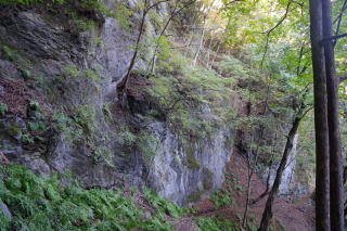
 石灰岩の山なのでこんなところもある。 This shows that the mountains are made of lime stone. |
 |
 |
 標高1,220m付近の天神神社。立派な建物だが、 人口も減り、高齢化が進んだ集落からここまで 登ってくることも難しくなったようで、倒壊しかかっている。 Tenjin Shrine at 1,220 meters in altitude. It is an excellent Shinto shrine but is now decaying. It seems that it is now difficult for people to maintain it as population has substantially decreased and the remaining population is mostly too old to climb here from the communities far away. |
 下部は非常に急でかつ足元が不安定。 The lower part of the trail is very steep and unstable. |
 石灰岩の露頭の下についた道を下る。 We descend on the narrow and steep trail under the lime stone outcrop. |
 やっと谷底の林道に到着(683 m.八丁橋近く)。 Arrival at the forestry road on the bottom of the gorge near Haccho Bridge。 |
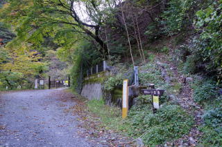 |
 16:10 小川谷橋(610 m.日原鍾乳洞口バス停)脇の 日原鍾乳洞への分岐点に到着。 Arrival at the division to the Nippara Cave next to the Ogawa-dani Bridge (Nippara Cave bus stop) |